Description
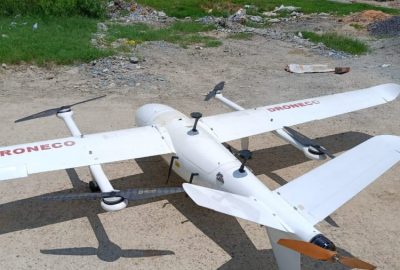
Drone survey services provide aerial imaging and data collection of any area, from large industrial sites to small residential properties. The drone can use high-resolution imagery, depending on the requirements of the customer. Using a combination of sensors including GPS, onboard cameras, and rangefinders, drones can survey an area quickly and accurately. Drone surveys are especially useful for large areas where it would be difficult or dangerous for humans to access. With the data collected from a drone survey, customers can generate detailed maps and 3D models of their property or project site in order to better plan construction projects or other tasks. Additionally, customers can use the data to inspect infrastructure such as roads or bridge decks without risking human safety.


